Tina Schmid · 21 September 2026
Lidar Mapping Uncovers Hidden Networks of Glacial Ponds Beneath Modern Farmlands
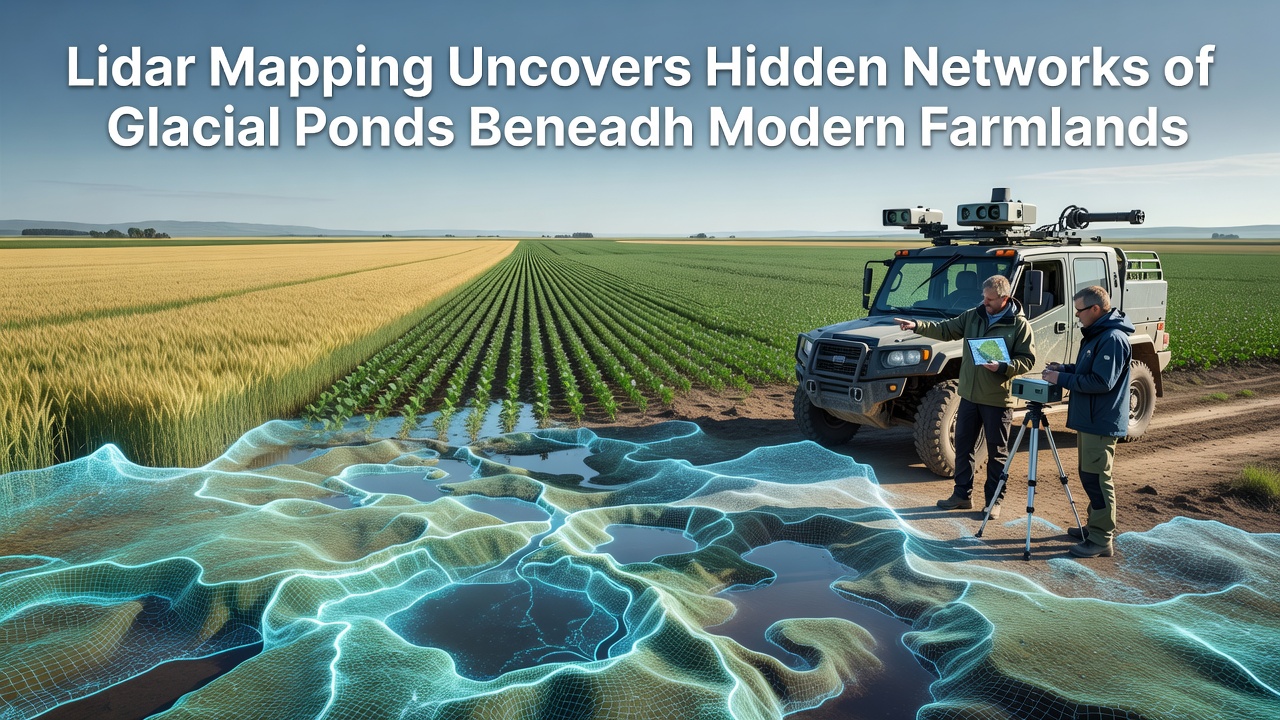
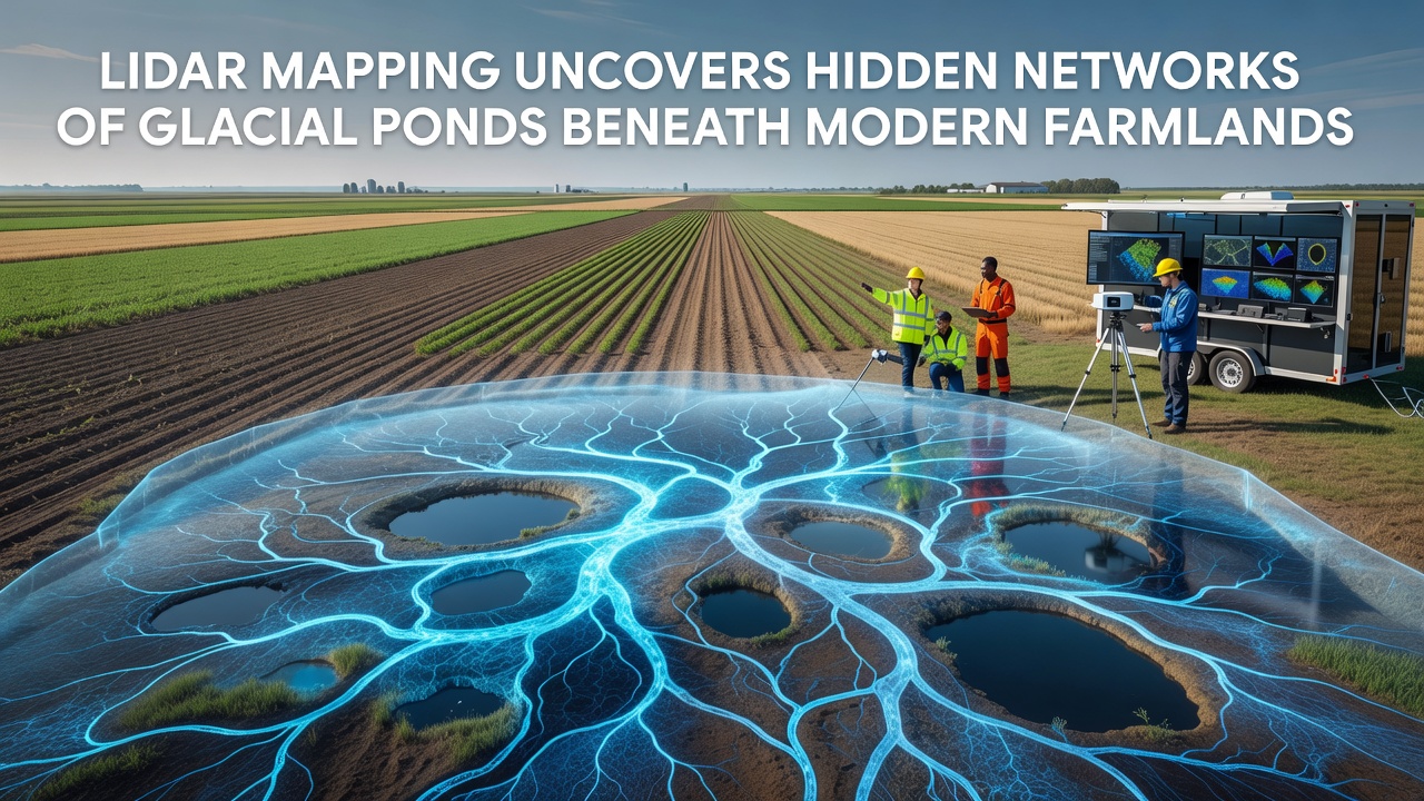
LiDAR technology has revealed extensive networks of ancient glacial ponds buried beneath contemporary agricultural fields across several northern regions and researchers continue to analyze the findings from projects completed in September 2026. These hidden water features formed during the last Ice Age and now lie under layers of soil that support modern crop production while their presence influences drainage patterns and soil composition in ways that affect farming operations. Data collected through airborne laser scanning shows clusters of depressions that once held meltwater and these structures connect through subtle channels that remain invisible from ground level.
Technology Behind the Discoveries
Airborne LiDAR systems emit pulses of light that penetrate vegetation and capture precise elevation measurements which allow scientists to construct detailed topographic models of the land surface. When applied over farmland the method identifies subtle variations in terrain that correspond to the outlines of former glacial ponds and connecting waterways. Equipment mounted on aircraft flies systematic grids and records millions of data points per square kilometer while post-processing removes surface features like crops and buildings to expose the underlying glacial landforms. Surveys conducted in the upper Midwest and parts of the Canadian prairies have produced maps that document these networks at scales previously unattainable through traditional ground surveys or aerial photography alone.
Geographic Extent and Historical Context
Glacial ponds originated when retreating ice sheets left depressions filled by melting water and sediment deposition during the Pleistocene epoch and many of these basins became incorporated into the landscape as farming expanded in the nineteenth and twentieth centuries. LiDAR datasets now show that individual farm fields often overlie clusters of these features rather than single isolated ponds and the networks extend across county boundaries in several states. Evidence from sediment cores taken at selected sites confirms the presence of lacustrine deposits beneath plow layers and radiocarbon dating places the formation of many basins between 12,000 and 15,000 years ago. The mapping effort completed in September 2026 added coverage for an additional 2,400 square kilometers and refined earlier models that had underestimated the density of these buried water bodies.
Agricultural and Hydrological Impacts
Farmers have long observed inconsistent drainage and localized wet spots that appear after heavy rainfall and the new LiDAR maps link many of these issues directly to the locations of buried glacial ponds. Water that infiltrates the soil can encounter these impermeable basin floors and move laterally along the ancient channels which creates variable moisture conditions across a single field. Studies coordinated by the United States Geological Survey have documented how these features alter groundwater flow and contribute to seasonal ponding that reduces yields in affected areas. Tile drainage systems installed over the past decades sometimes intersect the old pond basins and the resulting outflow patterns differ from those predicted by surface topography alone. Soil scientists note that the fine sediments deposited in the original ponds create zones of higher clay content that retain nutrients differently than surrounding glacial till.
Environmental and Conservation Implications
Restoration ecologists have begun using the LiDAR-derived maps to identify candidate sites for wetland reconstruction because the buried basins retain the topographic and stratigraphic conditions necessary for functional aquatic habitats. Several conservation districts now incorporate these datasets when prioritizing land acquisitions and easement placements and preliminary projects show that excavating to the original pond levels can reestablish seasonal wetlands within a few growing seasons. Wildlife biologists observe that remnant populations of aquatic species persist in areas where the glacial features remain close to the surface and the mapping helps predict corridors that connect these patches across the agricultural matrix. Data from Natural Resources Canada indicates that similar networks exist in provinces such as Manitoba and Saskatchewan where comparable glacial histories produced parallel landform patterns.
Future Applications and Data Integration
Researchers continue to integrate LiDAR results with soil surveys and hydrological models to produce predictive tools that farmers and land managers can apply at the field scale. Machine learning algorithms trained on the September 2026 datasets now classify pond basin types based on size depth and connectivity metrics and these classifications guide decisions about irrigation placement and conservation buffer design. Partnerships between universities and government agencies have expanded the geographic scope of the mapping while open data portals allow agricultural consultants to access elevation models for specific parcels. Ongoing work focuses on quantifying how climate variability interacts with these buried features and whether increased precipitation intensity will accentuate the drainage challenges already identified in the LiDAR surveys.
Conclusion
LiDAR mapping has established that extensive networks of glacial ponds lie beneath many modern farmlands and the resulting datasets provide actionable information for agriculture hydrology and conservation planning. Continued refinement of these models supports more precise management of water resources while preserving the ecological legacies of past glacial activity.