Blake Braun · 2 November 2026
Satellite Imagery Exposes Shifting Sediment Patterns in Heartland Farm Ponds Over Time
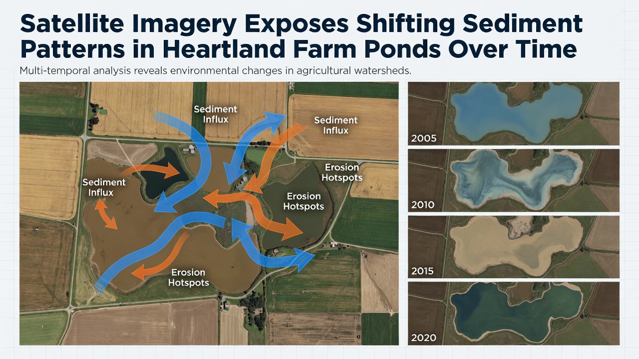
Researchers have tracked changes in sediment distribution across farm ponds in the American Heartland using decades of satellite data from programs like Landsat and Sentinel missions, and the patterns reveal consistent movement of soil particles that alter pond depths and water clarity over multiple seasons. Data from these sources show that agricultural runoff carries fine sediments into ponds at rates influenced by rainfall intensity, tillage practices, and crop rotations, which leads to measurable accumulation in certain basins while others experience gradual redistribution during high-flow events.
Data Collection Methods Reveal Long-Term Trends
Scientists combine multispectral imagery with ground-truth measurements to map sediment loads, and this approach allows detection of shifts that ground surveys alone might miss because satellite passes occur at regular intervals regardless of weather conditions. According to analyses from the USGS Earth Resources Observation and Science Center, reflectance values in the red and near-infrared bands correlate strongly with suspended sediment concentrations, which provides quantitative estimates across hundreds of ponds in states such as Iowa, Illinois, and Indiana. These datasets extend back to the 1980s, giving observers a baseline that highlights how certain ponds have deepened in central areas while edges have filled with deposited material.
Processing pipelines normalize images for atmospheric interference and seasonal vegetation changes, and researchers then apply machine learning classifiers to distinguish sediment from algal blooms or submerged vegetation. The resulting time series demonstrate that sediment redistribution accelerates during years with above-average spring precipitation, whereas drier periods allow for compaction and stabilization of existing deposits. Observers note that these cycles repeat across similar pond sizes and watershed types, creating predictable patterns tied to regional climate variability.
Regional Patterns Emerge from Comparative Analysis
Comparative studies across the Corn Belt show that ponds located near row-crop fields experience faster sediment influx compared with those buffered by grass strips or riparian zones, and the differences appear clearly in paired satellite scenes taken five years apart. European Space Agency Sentinel-2 data adds higher-resolution detail that confirms the same trends observed in Landsat records, which strengthens confidence in the findings because independent sensors capture consistent spatial distributions. In one documented case, a cluster of ponds in central Missouri displayed a 15 percent increase in near-shore sediment coverage between 2015 and 2025, while deeper central zones remained relatively clear during the same interval.
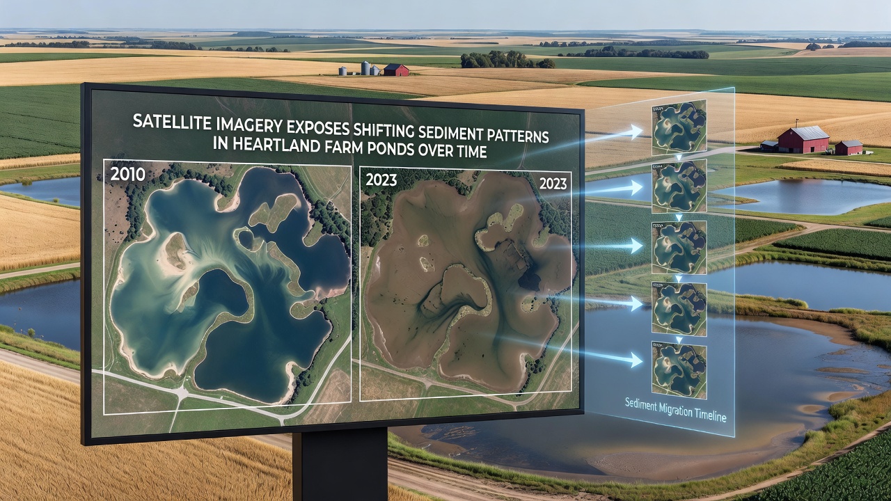
November 2026 updates to these monitoring programs incorporate new algorithms that separate organic from mineral fractions within the sediment signal, and early results indicate that organic-rich deposits correlate with higher nutrient retention, which in turn affects downstream water quality. Those who've examined the full archive point out that ponds with regular dredging histories show slower net accumulation rates, whereas unmanaged sites accumulate material at an average rate of several centimeters per decade. The spatial consistency across different states suggests that watershed-scale factors such as soil type and slope exert stronger control than local management variations alone.
Implications for Pond Function and Surrounding Land Use
Sediment shifts directly influence pond storage capacity and habitat suitability, because accumulated material reduces depth in feeding zones for aquatic species and alters light penetration that supports submerged plants. Agricultural operators who rely on these ponds for irrigation or livestock watering encounter changing conditions that require adjustments in intake locations or supplemental aeration equipment. Research indicates that sediment redistribution also modifies internal nutrient cycling, with phosphorus often binding to finer particles that settle in specific depositional areas identified through imagery.
Longer-term records further reveal that extreme weather events produce short-term spikes in sediment delivery followed by partial redistribution during subsequent calm periods, and this pulsing behavior appears in multiple Heartland watersheds. Data from university-led monitoring programs complement satellite observations by providing calibration points that improve accuracy of regional models. Observers note that continued collection through the late 2020s will allow detection of whether conservation practices such as cover cropping produce detectable reductions in new sediment inputs over multi-year timescales.
Conclusion
Continued integration of satellite archives with field validation establishes a foundation for tracking sediment dynamics in farm ponds without requiring intensive manual surveys at every site. The evidence assembled to date shows that patterns of accumulation and redistribution follow consistent rules tied to climate, land management, and pond morphology, which gives resource managers measurable indicators for planning interventions. Future refinements in sensor technology and analytical methods will likely extend these observations to smaller ponds and deliver near-real-time alerts during high-runoff seasons, supporting more precise responses across the Heartland region.